Cadastral surveying is a crucial aspect of land management and property ownership, playing a vital role in defining boundaries and establishing land titles. This article delves into the intricacies of cadastral surveying, explaining its significance, the processes involved, and when you might need to engage a cadastral surveyor.
Understanding Cadastral Surveying
Cadastral surveying is the process of measuring and mapping land parcels to define their boundaries, ownership, and rights. This type of surveying is essential for various legal and administrative purposes, including land registration, property transactions, and resolving disputes. The information gathered during a cadastral survey is often recorded in a cadastral map or plan, which serves as an official record of land ownership.
The Importance of Cadastral Surveys
The importance of cadastral surveys cannot be overstated. They provide a clear and accurate representation of land boundaries, which is essential for property owners, developers, and local authorities. By establishing precise boundaries, cadastral surveys help to prevent disputes between neighbours and ensure that land use complies with zoning regulations.
Moreover, cadastral surveys play a critical role in urban planning and infrastructure development. Local councils rely on accurate land information to make informed decisions about land use, development approvals, and resource management. Without reliable cadastral data, the planning process would be fraught with uncertainty and potential conflicts.
In addition to their role in urban planning, cadastral surveys also support environmental management and conservation efforts. By providing detailed information about land ownership and usage, these surveys enable authorities to implement effective land management strategies, ensuring that natural resources are used sustainably. This is particularly important in areas where land use changes can have significant ecological impacts, such as in the case of agricultural expansion or urban sprawl.
Key Components of Cadastral Surveying
Cadastral surveying involves several key components, including boundary determination, land parcel identification, and the establishment of easements and rights-of-way. Surveyors use a variety of tools and techniques to gather data, including GPS technology, total stations, and traditional measuring instruments.
Boundary determination is perhaps the most critical aspect of cadastral surveying. It involves identifying the precise location of property lines based on historical records, existing surveys, and physical markers. This process often requires extensive research and fieldwork to ensure accuracy.
Furthermore, the establishment of easements and rights-of-way is vital in ensuring that landowners can access necessary services, such as utilities and transportation routes. These legal rights allow for the passage of people and vehicles across private land, ensuring that communities remain connected and functional. Surveyors must carefully document these easements during the cadastral survey to avoid future complications or misunderstandings regarding land use and access rights.
When to Hire a Cadastral Surveyor
Understanding when to hire a cadastral surveyor is essential for property owners and developers alike. There are several scenarios in which engaging a professional surveyor is advisable, ensuring that land transactions and developments proceed smoothly.
Property Transactions
One of the most common reasons to hire a cadastral surveyor is during property transactions. Whether buying or selling land, having an accurate survey is crucial for establishing boundaries and ensuring that the property is free from disputes. A cadastral survey can help identify any encroachments or boundary issues that may affect the sale, providing peace of mind for both parties.
Additionally, lenders often require a cadastral survey as part of the mortgage process. This ensures that the property being financed is accurately described and that the lender’s interests are protected. Without a current survey, potential buyers may face delays or complications in securing financing.
Furthermore, it’s worth noting that a cadastral survey can also enhance the value of a property. By providing a clear and precise delineation of boundaries, it can reassure potential buyers that they are making a sound investment. This is particularly important in areas where property lines are not well defined, as it can prevent future disputes and enhance the overall marketability of the land.
Land Development Projects
For those involved in land development projects, hiring a cadastral surveyor is essential. Before any construction can begin, developers need to understand the exact boundaries of their property, as well as any easements or restrictions that may apply. A cadastral survey provides this information, allowing developers to plan their projects effectively and avoid costly mistakes.
Moreover, local councils often require a cadastral survey as part of the development approval process. This ensures that proposed developments comply with zoning regulations and do not encroach on neighbouring properties. Engaging a cadastral surveyor early in the planning process can help streamline approvals and reduce delays.
Additionally, a cadastral surveyor can assist in identifying any potential environmental constraints that may affect the development. This includes understanding flood zones, protected areas, or other land use restrictions that could impact the feasibility of a project. By addressing these factors early, developers can save time and resources, leading to a more efficient project timeline.
Dispute Resolution
Land disputes can arise for various reasons, including boundary disagreements, encroachments, and easement issues. In such cases, hiring a cadastral surveyor can be invaluable. A professional surveyor can provide an independent assessment of the situation, helping to clarify boundaries and resolve conflicts.
In some instances, a cadastral survey may be necessary for legal proceedings. Courts often rely on the findings of a qualified surveyor to make informed decisions regarding property disputes. Engaging a cadastral surveyor early on can help property owners avoid lengthy and costly legal battles.
Moreover, the expertise of a cadastral surveyor can also play a crucial role in mediation processes. Their objective analysis can help facilitate discussions between disputing parties, often leading to amicable resolutions without the need for litigation. This not only saves time and money but also helps maintain relationships between neighbours, which can be particularly important in tightly-knit communities.
The Cadastral Surveying Process
The cadastral surveying process typically involves several key stages, each designed to ensure accuracy and compliance with legal requirements. Understanding these stages can help property owners and developers navigate the process more effectively.
Initial Consultation
The first step in the cadastral surveying process is an initial consultation with a qualified surveyor. During this meeting, the surveyor will discuss the project requirements, assess the site, and gather any relevant documentation, such as existing surveys and title deeds. This information is crucial for planning the survey and identifying any potential issues that may arise.
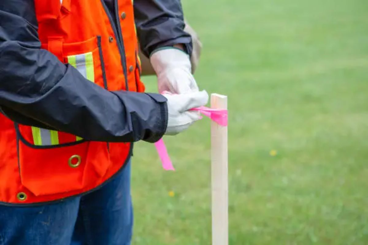
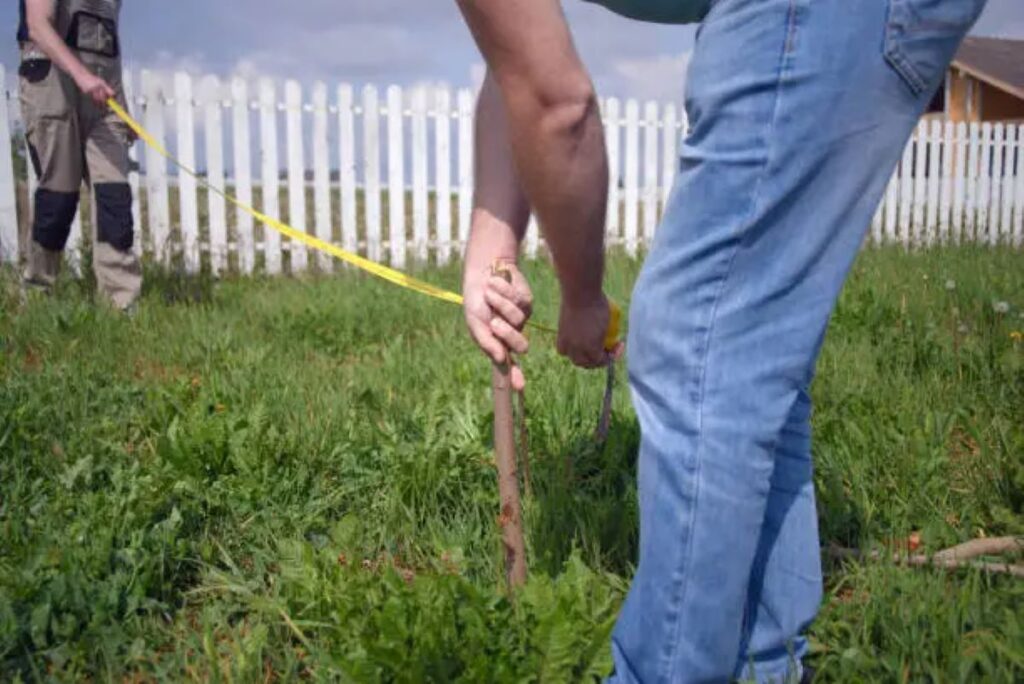
Field Survey
Once the initial consultation is complete, the surveyor will conduct a field survey. This involves physically measuring the land and identifying its boundaries using a combination of modern technology and traditional surveying methods. The surveyor will also look for physical markers, such as fences or trees, that may indicate property lines.
During the field survey, the surveyor will take detailed notes and photographs to document their findings. This information will be used to create a cadastral plan, which serves as an official record of the land’s boundaries and any relevant features.
Final Report and Plan
After completing the field survey, the surveyor will compile their findings into a final report and cadastral plan. This document will include detailed information about the property boundaries, any easements or rights-of-way, and any potential issues identified during the survey.
The final report and plan are essential for various purposes, including land registration, property transactions, and development approvals. Property owners should retain a copy of this documentation for their records, as it may be required for future transactions or legal matters.
Choosing the Right Cadastral Surveyor
Selecting the right cadastral surveyor is crucial for ensuring a successful surveying process. There are several factors to consider when choosing a surveyor, including qualifications, experience, and reputation.
Qualifications and Licensing
In Australia, cadastral surveyors must be licensed and registered with the relevant state or territory surveying authority. It is essential to verify that the surveyor you are considering has the necessary qualifications and is in good standing with their licensing body. This ensures that they are knowledgeable about current regulations and standards in the industry.
Experience and Specialisation
Experience is another critical factor when choosing a cadastral surveyor. Look for a surveyor with a proven track record in cadastral surveying, particularly in your area. Specialisation in specific types of surveys, such as residential, commercial, or rural, can also be beneficial, as it indicates that the surveyor is familiar with the unique challenges and requirements of your project.
Reputation and Reviews
Finally, consider the surveyor’s reputation and client reviews. A reputable cadastral surveyor will have positive feedback from previous clients and a strong standing within the industry. Online reviews, testimonials, and recommendations from friends or colleagues can provide valuable insights into a surveyor’s reliability and quality of work.

The Future of Cadastral Surveying
The field of cadastral surveying is continually evolving, driven by advancements in technology and changes in land management practices. As the demand for accurate land information increases, so too does the need for skilled cadastral surveyors.
Technological Advancements
One of the most significant trends in cadastral surveying is the integration of technology. Innovations such as drone surveying, 3D modelling, and Geographic Information Systems (GIS) are transforming the way surveys are conducted and data is analysed. These technologies allow surveyors to gather information more efficiently and accurately, ultimately benefiting property owners and developers.
Moreover, the use of digital platforms for managing cadastral data is becoming increasingly common. These platforms enable surveyors to share information with clients and stakeholders in real-time, facilitating better communication and collaboration throughout the surveying process.
Changing Regulations
As land management practices evolve, so too do the regulations governing cadastral surveying. Surveyors must stay informed about changes in legislation and industry standards to ensure compliance and maintain their professional standing. This ongoing education is essential for providing clients with the most accurate and reliable services possible.
Conclusion
Cadastral surveying is an essential component of land management and property ownership, providing critical information about boundaries, ownership, and rights. Understanding when to engage a cadastral surveyor can save property owners and developers time, money, and potential disputes.
By familiarising oneself with the cadastral surveying process and choosing a qualified surveyor, individuals can ensure that their land transactions and developments proceed smoothly. As technology continues to advance and regulations evolve, the importance of skilled cadastral surveyors will only increase, making their expertise invaluable in today’s ever-changing landscape.